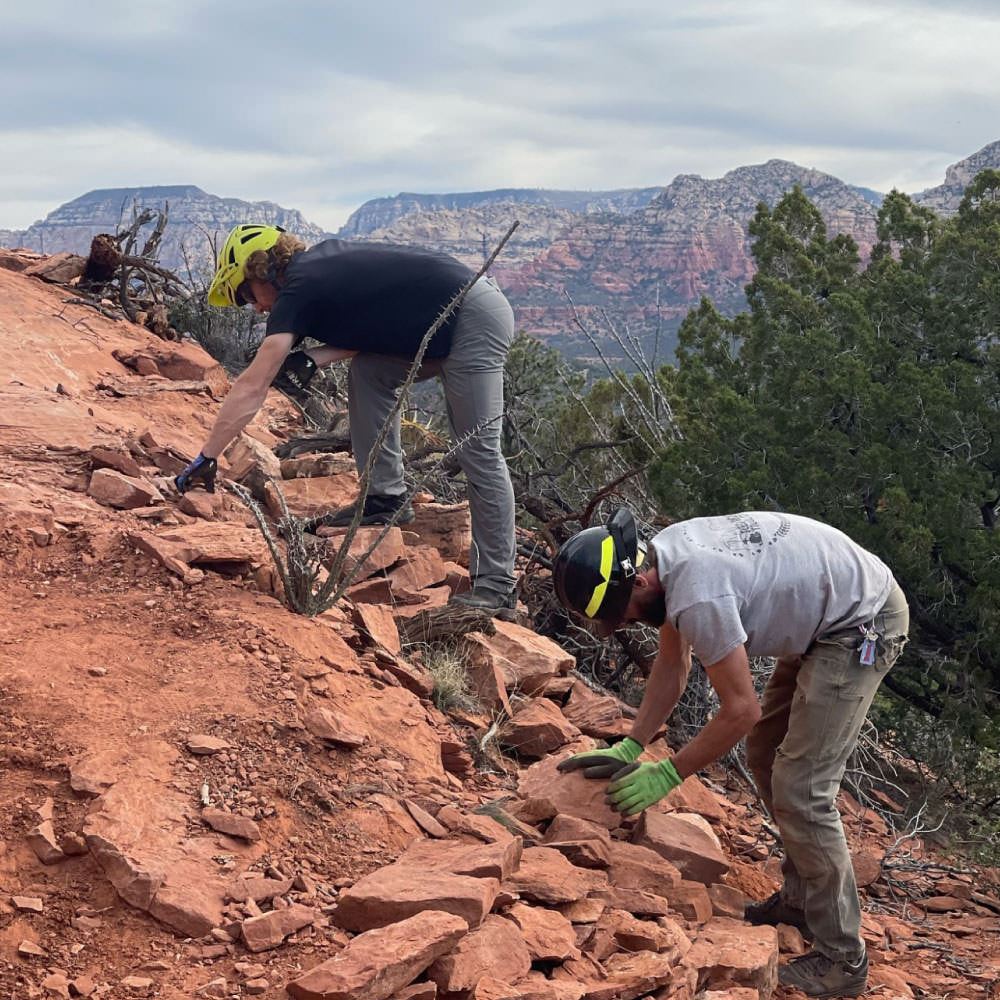
YOU ARE INVITED TO JOIN THE FALL 2015 REDROCK VOLUNTEER TRAIL WORK DAYS
October 24
November 7 & 21
December 5 & 19
All trail work days will start out by meeting at the Old Post Trailhead at 8:30 am. This trailhead is located at the south end of the Old Post Trail, at the Kiosk located by the paved Chavez Ranch Road. The trail work will consist of new trail construction and general maintenance in the Carrol Canyon/Scheurman Mountain area.
Directions: From Sedona head west on 89A (towards Cottonwood), turn left on Upper Red Rock Loop Road. Continue on Upper Red Rock Loop Road for 1.8 miles and take a left onto Chavez Ranch Road. The Old Post Trailhead will be on the left.
All trail work sessions start at 8:30 am and conclude at 1:00 pm unless otherwise noted.
What you need to bring: Sturdy closed-toe shoes, long pants, sunscreen, water, snacks, and head protection are required. If you have a bike helmet or hard hat, you can bring that. Hardhats and gloves will be provided for those who do not have them. Trail tools and trail work instructions will be provided. Children under 18 must be accompanied by a parent/guardian. Please put these dates in your calendar and bring your friends and family!There is lots to do, of varying degrees of skill and effort.
For more information please give a call to or email Forrest Saville, Red Rock Ranger District Trail Coordinator.
Forrest Saville
p: 928-203-7509
c: 928-606-1748
f: 928-203-7539
sfsaville@fs.fed.us


